If you want a shorter, less stressful drive in the Dayton area, the north-side suburbs can be a smart place to start. You might be balancing a job downtown, at Wright-Patterson AFB, or near the airport and wondering which suburb keeps your commute simple. In this guide, you’ll learn how the major highways work, what typical drive times look like, and where price bands sit so you can zero in on a good fit. Let’s dive in.
North of Dayton overview
Anchored around the 45404 zip just northeast of downtown, “north of Dayton” generally covers Riverside, Huber Heights, Vandalia, Englewood, Tipp City, and Trotwood, plus nearby city neighborhoods. For orientation, 45404 is often used as a reference point for the north corridor. You can use this 45404 profile to visualize its position relative to downtown and the suburbs.
These communities sit along the I‑75, I‑70, I‑675, and US‑35 corridors. That layout gives you several route choices, which matters when construction or weather slows a primary route.
Highways and commute basics
Four freeways shape daily driving:
- I‑75 runs north–south through Dayton, connecting Vandalia, Englewood, and downtown.
- I‑70 runs east–west across the north metro, tying Huber Heights, Vandalia, and I‑75 together.
- I‑675 is the eastern bypass that links to US‑35 and common routes toward WPAFB.
- US‑35 is an east–west connector serving Fairborn and WPAFB access.
For a helpful overview of the region’s road network, see Dayton’s transportation context. If you travel regularly, proximity to Dayton International Airport can be a bonus, especially in Vandalia and neighboring areas.
Construction can affect reliability. I‑75 through and near downtown has seen phased lane shifts and reconstruction. Before you commit to a route, skim recent updates like this ODOT I‑75 project phase and check live traffic during your typical commute window.
Typical drive times
Non‑peak sample drives help set expectations, but what residents report to the Census reflects real-world conditions. Across these north-side cities, ACS mean travel times to work often cluster from the high teens to mid‑20s minutes. Always test your exact route at your commute hour.
- Riverside: Reported ACS mean travel time is about 19.6 minutes. Non‑peak drives to downtown can be quick. A sample calculator shows roughly 10 minutes from Riverside to central Dayton; see this Riverside to Dayton snapshot. Riverside also sits near WPAFB access routes, so base commutes are often short depending on gate.
- Huber Heights: Residents report an ACS mean around 22.7 minutes. With direct access to I‑70 and I‑675, many WPAFB commuters find this a practical base‑area suburb.
- Vandalia: ACS mean is about 21.1 minutes. Non‑peak drives to downtown Dayton can be under 15 minutes; example tools show about 13 minutes in light traffic from Vandalia to Dayton. Drives to WPAFB vary more with route choice.
- Englewood: Similar north‑side access via I‑75 and SR‑48 keeps downtown and the airport within a short drive. Reported commute times are typically in the low 20s.
- Tipp City: Residents often report around 20 to 21 minutes on average. It is farther north, so some routes take longer. A sample non‑peak shows Tipp City to WPAFB around 33 minutes via this Rome2rio check.
- Trotwood: Reported ACS mean travel time trends longer, around 24 to 25 minutes. Access to I‑75 and US‑35 helps, but timing matters.
Tip: For a reliable picture, run Google Maps or Waze at 7–8 a.m. and 4–6 p.m. from the specific neighborhood you’re considering to both downtown Dayton and the WPAFB gate you’ll use.
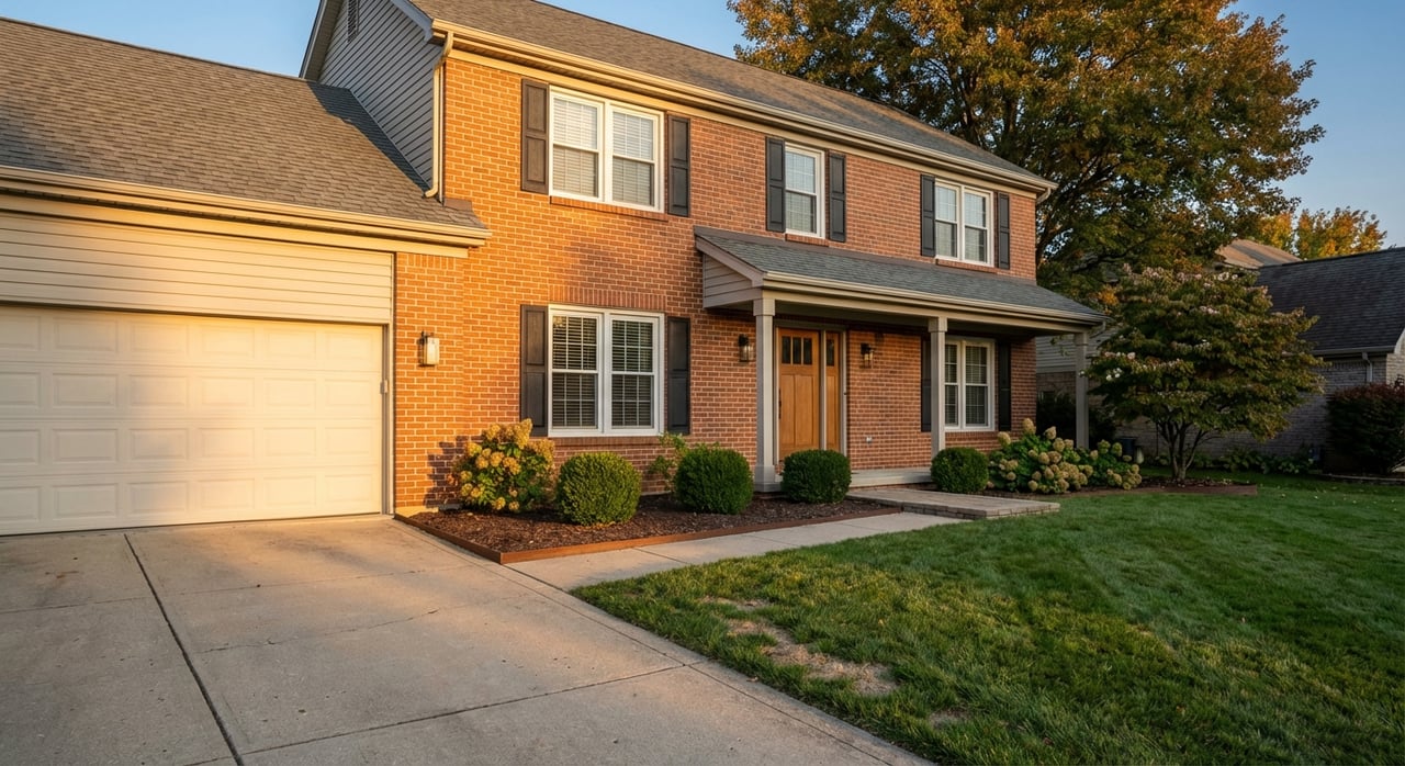
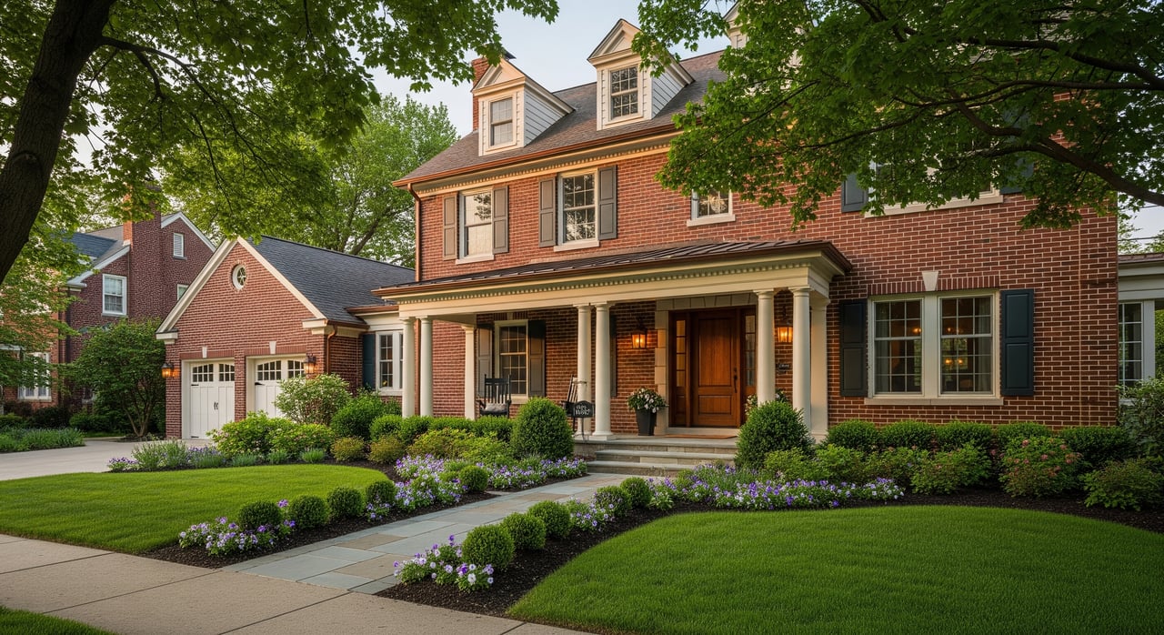
Housing types and prices
You’ll see a wide range north of Dayton, from postwar ranches to 1970s subdivisions and newer infill. Recent market snapshots provide these general bands. Always verify current medians before you shop.
- Riverside: Mix of older single‑family homes with some infill. Median sale values have trended in the lower‑to‑mid price band for the metro in recent snapshots.
- Huber Heights: Large stock of single‑family ranches and tract homes, often a value play for yard space. A recent sample median hovered near the low $200Ks.
- Vandalia: Mixed neighborhoods plus newer pockets near the I‑75/I‑70 crossroads. A recent sample showed a median around the low $200Ks.
- Englewood: Postwar homes with steady prices. Recent snapshots placed medians near the mid‑$200Ks.
- Tipp City: Small‑town character with higher median values and historic housing near downtown. Recent samples clustered around the low‑to‑mid $300Ks.
- Trotwood: Historically more affordable, with median sale prices often in the mid‑$150Ks to low $160Ks in recent reports.
These ranges help frame starter, mid, and move‑up budgets. Your exact price will depend on condition, updates, lot size, and micro‑location.
Best fits by job center
If you work at WPAFB
Look first at Riverside and Huber Heights. Both sit near common base access routes and are identified alongside Dayton, Beavercreek, and Fairborn in the WPAFB Compatibility Use Plan. Confirm your gate and run live routes at peak hours.
If you work downtown
Vandalia and Englewood offer straightforward I‑75 access and some of the shortest non‑peak drives into the core. Riverside also puts you close to the city grid if you prefer local streets.
If you travel often or work near DAY
Vandalia and neighboring areas are minutes from Dayton International Airport. If air travel or airport‑area employers are part of your week, that proximity can save time.
Suburb snapshots
Use this quick tour to match commute priorities with housing and price.
Riverside
- Why consider it: Close to city jobs and WPAFB access routes.
- Housing: Older single‑family and some infill.
- Commute notes: ACS mean travel time around 19.6 minutes. Non‑peak drives to downtown can be about 10 minutes depending on start point.
Huber Heights
- Why consider it: Value, yard space, and multiple freeway options.
- Housing: Many single‑story ranches and tract subdivisions.
- Commute notes: ACS mean about 22.7 minutes. Often cited as convenient for WPAFB, depending on your gate.
Vandalia
- Why consider it: Quick downtown access and airport convenience.
- Housing: Mixed neighborhoods with some newer subdivisions.
- Commute notes: ACS mean around 21.1 minutes. Sample non‑peak to downtown can be about 13 minutes.
Englewood
- Why consider it: Balanced access to I‑75 and the airport.
- Housing: Postwar homes at modest price points.
- Commute notes: Downtown and airport drives are typically short outside of peak slowdowns.
Tipp City
- Why consider it: Small‑town feel with higher medians and a walkable core.
- Housing: Historic and newer single‑family with character.
- Commute notes: ACS mean around 20–21 minutes, but longer to WPAFB and downtown. Non‑peak to WPAFB is often in the 30‑minute range.
Trotwood
- Why consider it: Affordability and room to grow.
- Housing: Mixed stock with revitalizing pockets.
- Commute notes: ACS mean around 24–25 minutes. Proximity to I‑75 and US‑35 helps, yet timing matters.
Smart next steps
- Test your commute live. Run AM and PM routes from a few candidate neighborhoods to your workplace and any regular stops.
- Verify taxes and policies. Ohio municipalities can have different income tax rates. Check city and county sources for current figures.
- Research school districts and boundaries directly with district offices or official websites to confirm zoning and any transfer policies.
- Map your base gate. If you work at WPAFB, identify the specific gate you will use and confirm travel times to that point.
- Watch construction updates. If your route uses I‑75 through downtown, track current phases and plan alternates when needed.
- Consider your lifestyle stops. If you value a historic town center, outdoor space, or quick airport access, weigh those alongside the drive.
If you want a disciplined, relocation‑savvy plan for your move, reach out. As a veteran with Military Relocation experience, I can help you compare neighborhoods, test commute times, and target the best value for your goals. Connect with Andrea Neswadi to get started.
FAQs
What suburbs north of Dayton have the shortest drives to downtown?
- Non‑peak, Vandalia and Riverside often offer some of the quickest drives to central Dayton, thanks to proximity and I‑75 access; always verify live times during your commute hour.
Which north-side suburbs are best for Wright-Patterson AFB access?
- Riverside and Huber Heights are commonly chosen for base access, and they appear in the WPAFB Compatibility Use Plan’s partner communities; confirm your specific gate and test routes.
How do typical commute times compare across these suburbs?
- ACS data shows mean travel times generally from the high teens to mid‑20s minutes across north‑side cities, with Riverside on the shorter side and Trotwood trending longer.
What are the general price bands in north-of-Dayton suburbs?
- Recent snapshots show medians from the mid‑$150Ks in Trotwood up to the low‑to‑mid $300Ks in Tipp City, with Huber Heights, Riverside, Vandalia, and Englewood in the low‑to‑mid $200Ks.
Are there public transit options for commuting without a car?
- The north‑of‑Dayton suburbs are largely car‑oriented; some RTA bus routes serve key corridors, but most commuters rely on driving. Verify current RTA schedules if transit is important.
How can I check if I’ll be affected by I‑75 construction?
- Review recent ODOT updates, like the reported I‑75 lane‑shift phases, and run live traffic checks before your commute to plan alternatives when needed.